
The Rise of Smart Agriculture and Inspection Robotics
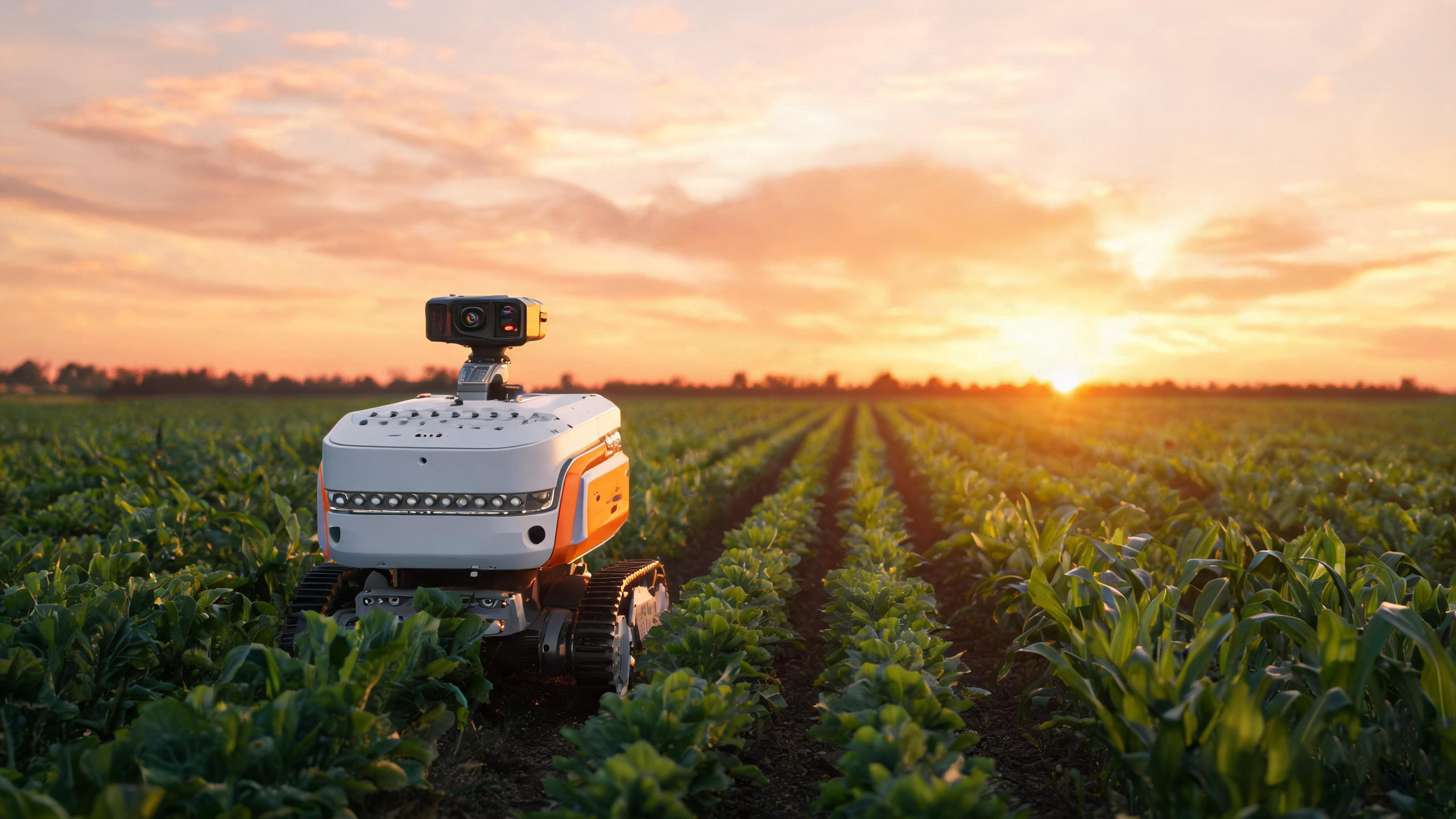
Global agriculture is shifting from labor-intensive practices to data-driven automation. Across large-scale farms, greenhouses, and orchards, operators are deploying autonomous ground vehicles and aerial drones to monitor crops, manage irrigation, and detect problems before they spread. These agricultural inspection robots carry visible-light cameras, multispectral sensors, and GPS units — but they still face a critical limitation in low-visibility conditions.
Visible-light cameras depend on adequate illumination. They struggle at night, in dense fog, and under dust clouds. They also miss early signs of plant stress that never show up as color changes. This is where thermal imaging for agriculture becomes essential. By detecting infrared radiation rather than reflected light, thermal cameras reveal temperature differences across fields that indicate water stress, disease, and soil variation — even in total darkness.
How Thermal Imaging Technology Works in Agriculture
Every object above absolute zero emits infrared radiation. A thermal imaging camera captures this radiation through a sensor array — typically an uncooled vanadium oxide (VOx) microbolometer — and converts it into a temperature-calibrated image. In agricultural settings, the surface temperature of crops and soil is not random. It reflects underlying biological and physical conditions that matter to farmers.
When a plant experiences water stress, its stomata close to reduce water loss. This reduces transpiration, which in turn raises the leaf surface temperature. A thermal camera mounted on an inspection robot can detect this temperature rise days before visible wilting occurs. Similarly, areas of compacted or waterlogged soil often show distinct thermal signatures compared to well-drained zones.
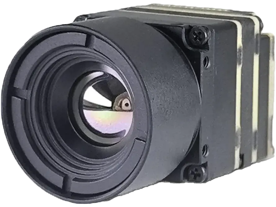
An agricultural inspection robot typically integrates a thermal imaging core module into a gimbal-stabilized payload. The module streams thermal data to an onboard processor, where it is fused with visible-light imagery and analyzed by machine-learning models trained to recognize specific crop anomalies. The result is a real-time map of field health that guides precision agriculture decisions.

Crop Health Monitoring with Thermal Cameras
One of the most valuable applications of thermal camera for crop monitoring is the early detection of water stress. Traditional visual inspection only catches drought damage after leaves have visibly wilted or changed color. Thermal imaging spots the problem earlier by identifying localized temperature increases across the canopy. Robots can patrol thousands of plants per hour and flag anomalies for targeted irrigation, saving water and preserving yield.
Pest and disease outbreaks also create thermal signatures. When insects feed on leaves or pathogens invade plant tissue, the affected areas often show altered temperature patterns due to disrupted cellular metabolism. A robot equipped with a thermal imaging core module can scan rows of crops and highlight hotspots or coldspots that warrant closer biological inspection. This allows farmers to intervene with precision treatments rather than spraying entire fields.
Researchers and agritech companies are also using thermal data to model crop growth rates. By tracking temperature trends over time, algorithms can estimate biomass accumulation, predict harvest windows, and assess the effectiveness of fertilizer regimes. All of this depends on the robot's ability to collect consistent, high-resolution thermal data across large areas repeatedly.
Soil and Environmental Monitoring
Soil conditions are rarely uniform across a field. Compaction, moisture variation, and organic matter distribution all affect how soil absorbs and releases heat. A thermal camera for soil moisture detection can map these variations from above, revealing patterns invisible to the naked eye. Wet soil generally appears cooler than dry soil during daytime because evaporation dissipates heat. At night, the pattern reverses as dry soil radiates heat faster. Robots that patrol at multiple times of day can build a detailed moisture map without digging a single sample.
This capability directly supports irrigation management. Instead of applying uniform amounts of water across a field, farmers can use thermal maps to identify zones that need more or less irrigation. When integrated with drone thermal imaging for irrigation systems, the data feeds directly into variable-rate sprinklers or drip-line controllers, cutting water waste and energy costs.
Beyond soil, thermal imaging helps assess broader environmental conditions. Greenhouse operators use thermal cameras to detect heat leaks in plastic coverings or glass panels, locate malfunctioning heating systems, and verify that climate zones maintain target temperatures. In open fields, thermal sensors can monitor water quality in retention ponds by detecting temperature stratification or unusual discharge patterns from drainage systems.
Boosting Inspection Efficiency Around the Clock
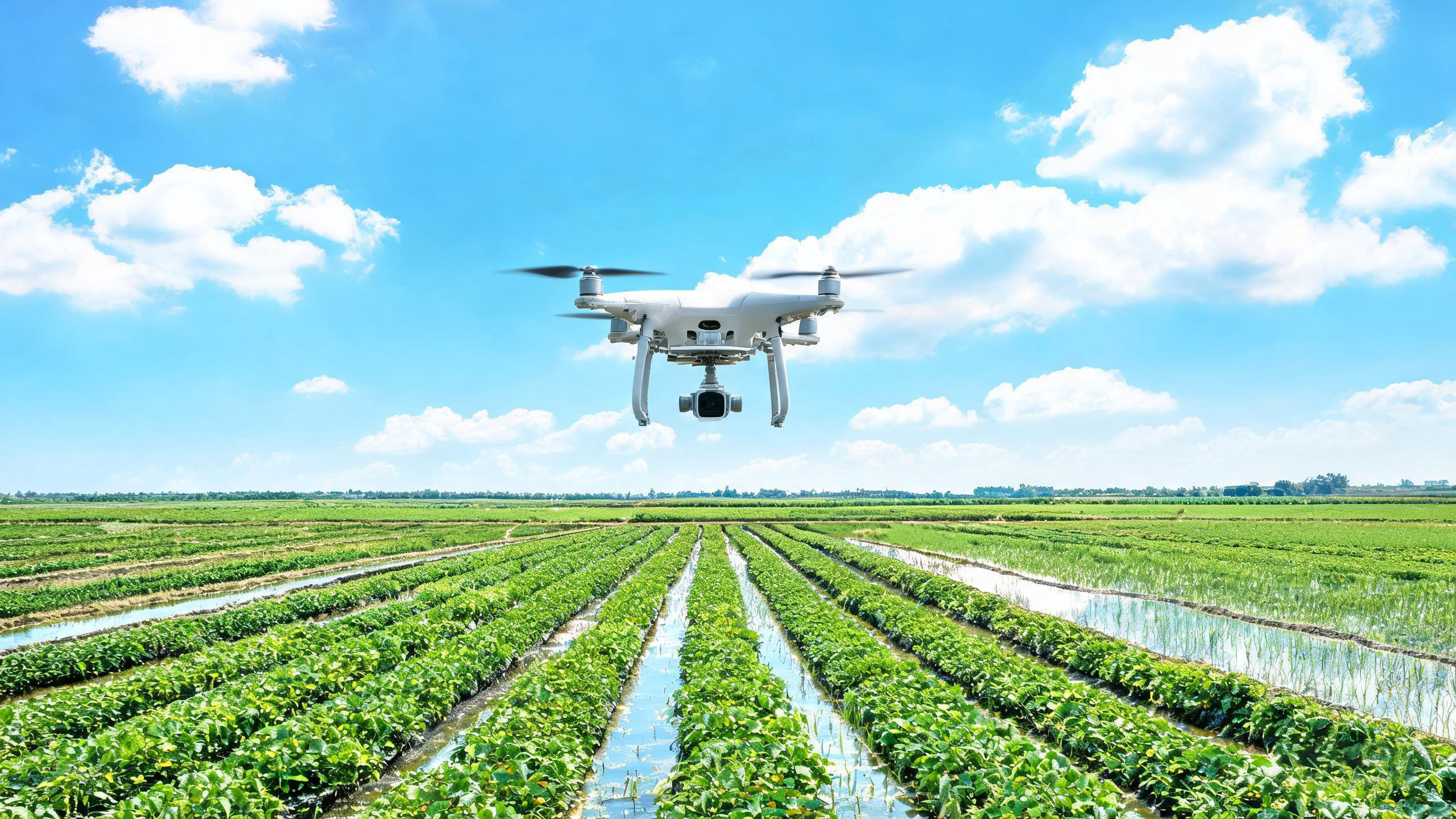
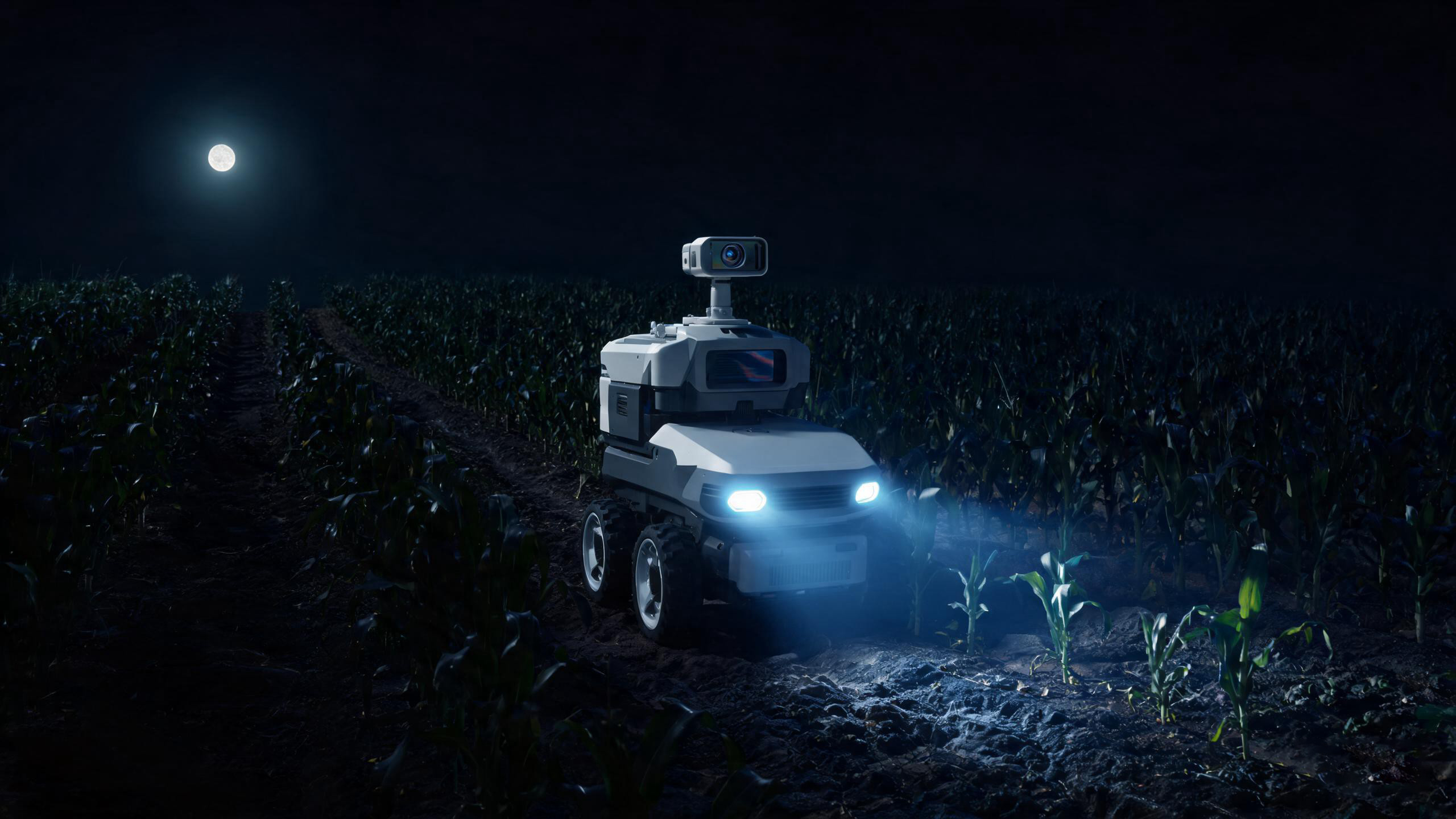
One of the most practical advantages of adding thermal imaging to an agricultural robot is the ability to operate regardless of ambient light. Visible-light cameras become ineffective after sunset and struggle in early morning fog or dust storms. A thermal sensor, by contrast, detects heat radiation directly and performs consistently in total darkness, haze, and light precipitation. This means precision agriculture thermal monitoring can continue through the night, doubling the effective patrol time of autonomous fleets.
Speed and coverage also improve. A ground robot equipped with a thermal camera can scan multiple rows of crops in a single pass, while a drone can survey hundreds of acres in under an hour. The thermal data is geotagged and time-stamped, allowing operators to compare field conditions across days, weeks, and growing seasons. Over time, this builds a historical database that supports predictive analytics — for example, forecasting which zones are likely to develop stress under forecasted heatwaves.
Modern agricultural robots rarely rely on a single sensor. The most effective platforms combine thermal imaging with visible-light cameras, LiDAR, and multispectral sensors. Thermal data provides the physiological layer (is the plant stressed?), while visible and multispectral data provide the structural layer (how large is the canopy, what is the chlorophyll content?). Fusing these streams produces a more complete assessment than any single sensor could deliver. The thermal imaging core module serves as the foundational sensing element that makes this fusion possible.
Why Your Agricultural Robot Needs a Quality Thermal Imaging Core
Not all thermal cameras are suitable for agricultural robotics. The demands of field deployment — vibration, temperature extremes, dust, and moisture — require a imaging core designed for reliability. Equally important are imaging performance metrics that determine whether the data collected is actionable.
Resolution determines how much detail the robot can resolve from a given altitude or distance. For ground robots operating within a few meters of the canopy, a 384 x 288 resolution module is often sufficient to identify individual plant thermal signatures. For drones flying at higher altitudes over broad fields, 640 x 512 resolution provides sharper images that retain detail after georectification.
NETD (Noise Equivalent Temperature Difference) measures the smallest temperature difference the sensor can distinguish. In agriculture, where stress-induced temperature changes may be as small as 0.5°C, a low NETD is critical. Modules rated below 50 mK provide the sensitivity needed to catch early-stage anomalies before they become visible problems.
Size, weight, and power (SWaP) directly affect robot endurance. A compact thermal imaging core module draws less power, generates less heat, and places less burden on the robot's gimbal and battery systems. This translates into longer mission durations and lighter payloads — important whether the platform is a wheeled rover or a battery-powered quadcopter.
Shutterless or non-uniformity correction (NUC) technology matters for continuous operation. Traditional thermal cameras require periodic mechanical shutter closures to recalibrate, causing brief data gaps. Shutterless cores eliminate this interruption, enabling uninterrupted streaming during long patrol routes.
If you are developing an agricultural inspection robot and need a thermal imaging core module that balances resolution, sensitivity, and compact form factor, Owlshine offers a range of uncooled LWIR modules designed for OEM integration. Available in multiple resolutions with low NETD ratings and lightweight packages, these cores are built to perform in the field. Explore Owlshine thermal imaging modules to find a configuration that fits your robotics platform.
Real-World Applications and Future Outlook
Thermal imaging is already delivering measurable results across multiple agricultural environments. In large-scale row-crop operations in the American Midwest, drone fleets equipped with thermal cameras fly weekly missions during the growing season. The data identifies irrigation leaks, nutrient deficiencies, and areas affected by root rot before yield losses occur. Farmers report water savings of 20 to 30 percent after switching from uniform irrigation to thermal-guided variable-rate systems.
In greenhouse complexes across the Netherlands and Spain, mobile ground robots patrol aisles between rows of tomatoes and peppers. Their thermal payloads detect early signs of botrytis and other fungal infections by identifying temperature deviations on leaf surfaces. Because the robots operate at night when greenhouses are closed to workers, they do not interfere with daily harvest and maintenance activities.
Vineyard managers in France, Italy, and California use thermal-equipped robots to monitor grapevine water status during critical ripening periods. By correlating thermal data with sugar content samples, they optimize irrigation timing to improve fruit quality without wasting water. In orchards, thermal imaging helps detect frost damage in citrus and stone fruit, guiding pruning and replanting decisions.
Looking forward, the integration of thermal imaging with artificial intelligence will deepen. Edge-computing platforms onboard robots will process thermal streams in real time, classifying stress types and triggering immediate responses — such as activating targeted misting systems when heat stress is detected. Satellite and drone thermal data will combine to create multi-scale monitoring networks, while smaller, lower-cost thermal modules will make the technology accessible to smallholder farms.
The trajectory is clear: thermal imaging is transitioning from a specialized research tool to a standard sensor in agricultural robotics. For equipment manufacturers and agritech developers, selecting the right thermal imaging core module now is an investment in the next generation of farm automation.
Frequently Asked Questions
Thermal imaging in agriculture uses infrared cameras to detect heat radiation emitted by crops, soil, and surrounding environments. Unlike visible-light cameras, thermal sensors do not need illumination to operate. They reveal temperature differences that indicate plant stress, moisture levels, pest infestations, and equipment malfunctions. When mounted on inspection robots, thermal imaging enables automated, large-scale field monitoring regardless of time or weather.
Indirectly, yes. Wet soil and dry soil exhibit different thermal behaviors due to evaporation and heat capacity differences. During daylight, wet soil typically appears cooler than dry soil because evaporation dissipates heat. At night, dry soil radiates heat faster and appears cooler. Agricultural robots that capture thermal data at multiple times of day can generate moisture distribution maps without physical sampling. For direct volumetric moisture measurement, thermal imaging is often combined with ground-penetrating sensors or soil probes.
Yes. Thermal cameras detect infrared radiation, not visible light, so they perform equally well in complete darkness, fog, haze, and light rain. This allows agricultural inspection robots to conduct night patrols, effectively doubling operational hours compared to visible-light-only systems. Nighttime thermal surveys are particularly useful in greenhouses and orchards where daytime robot operation might interfere with farm workers.
The optimal resolution depends on the robot platform and mission altitude. For ground robots operating within a few meters of the crop canopy, a 384 x 288 resolution module is usually sufficient to detect individual plant thermal signatures. For aerial drones surveying broad fields from higher altitudes, 640 x 512 resolution retains more detail after georectification and supports finer zone classification. Higher resolution also improves the accuracy of AI-based anomaly detection algorithms.
A thermal imaging core module is typically mounted on a gimbal or fixed bracket and connected to the robot's onboard computer through a standard interface such as MIPI, USB, or Ethernet. The module outputs a continuous stream of thermal frames, which the robot's processor analyzes using machine vision or deep learning pipelines. Many modules support SDK integration, allowing developers to access raw temperature data, adjust color palettes, and synchronize thermal output with GPS timestamps and visible-light imagery for multimodal analysis.
Building the Next Generation of Agricultural Robots?
Explore Owlshine's range of thermal imaging core modules engineered for OEM integration, precision agriculture, and autonomous field monitoring.
Browse Thermal Imaging Modules