

What Is the Low Altitude Economy and Why 2026 Is the Tipping Point
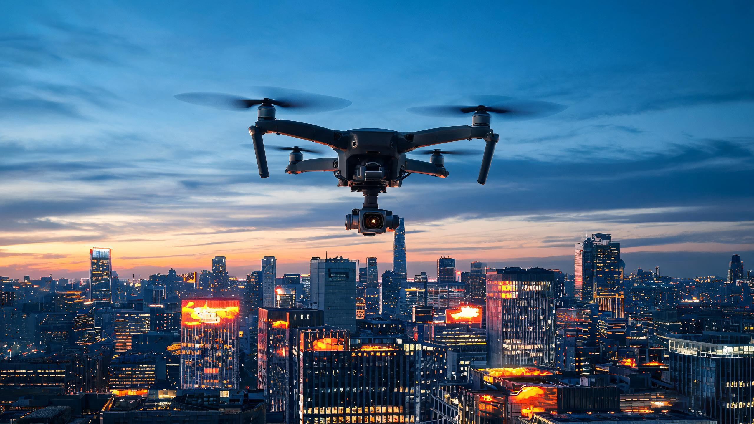
The low altitude economy refers to commercial and industrial activities conducted in airspace below 1,000 meters — primarily using drones, eVTOL aircraft, and other unmanned aerial systems. In 2026, this sector has reached a historic inflection point.
From July 22 to 25, 2026, the International Low Altitude Economy Expo opens at the National Exhibition and Convention Center in Shanghai. This event is not just a trade show — it is a signal that low-altitude operations are transitioning from experimental to mainstream across surveillance, logistics, emergency response, and infrastructure inspection.
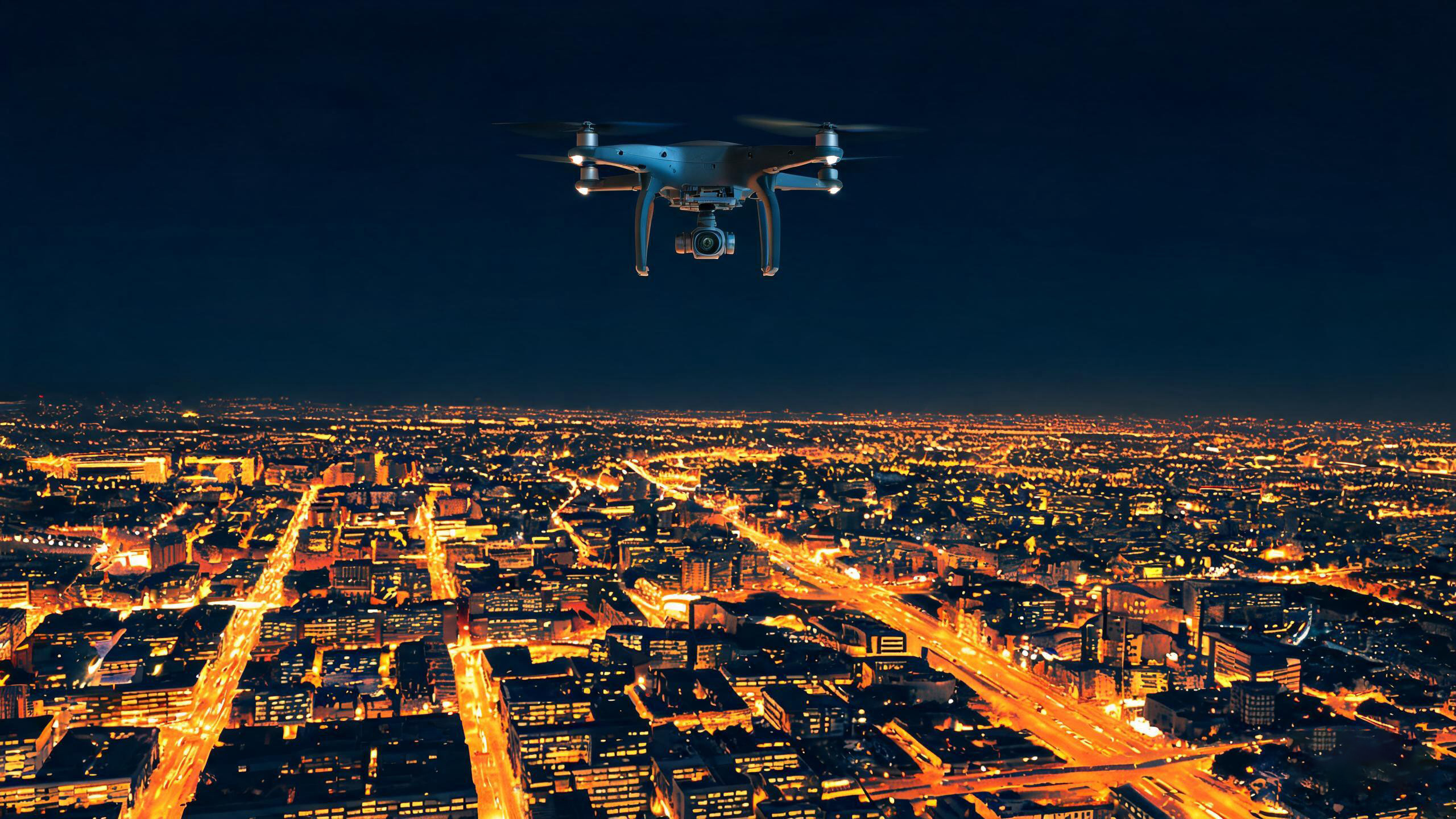
Fig 1: Thermal imaging drones provide unmatched night surveillance capabilities in urban low-altitude operations.
Why Thermal Imaging Is the Critical Drone Payload
Among all sensor payloads available for drones, thermal imaging cameras occupy a uniquely essential position. Unlike visible-light cameras that fail in darkness, fog, or smoke, thermal cameras detect infrared radiation emitted by every object — making them operational 24/7 in conditions that grounding other sensors.
For low-altitude operations, this capability is transformative:
- Night operations: Search-and-rescue missions no longer stop at sunset. Thermal drones locate missing persons by body heat signatures in total darkness.
- Smoke and haze penetration: Wildfire response teams use thermal drones to map fire perimeters through dense smoke that blocks visible cameras.
- Industrial inspection: Power line and pipeline inspections detect overheating joints, insulator failures, and gas leaks from safe distances.
- Perimeter security: Thermal drones patrol borders, prisons, and critical infrastructure, detecting intruders concealed by vegetation or darkness.
As low-altitude flight corridors expand, the demand for lightweight thermal imaging modules that can be integrated into compact UAV platforms is surging.
Key Applications of Thermal Imaging Drones in Low Altitude Operations
Smart Emergency Response
During floods, earthquakes, and fires, thermal drones rapidly locate survivors, map hazardous zones, and guide rescue teams — all from altitudes that manned aircraft cannot safely operate.
Power Grid Inspection
Thermal drones scan transmission lines and substations for hot spots indicating loose connections, overloads, or impending failures — reducing inspection time by over 60%.
Agricultural Monitoring
Early detection of crop stress, irrigation issues, and pest infestations through thermal signatures — enabling precision agriculture at scale.
Urban Security Patrol
Autonomous thermal drone fleets patrol city perimeters, industrial parks, and event venues, providing cost-effective 24/7 surveillance.
2026 Expo Highlights: What to Expect in Shanghai
The International Low Altitude Economy Expo 2026 brings together more than 300 exhibitors across the entire low-altitude ecosystem — from airframe manufacturers to sensor providers to flight management software developers.
For thermal imaging professionals, key expo highlights include:
| Expo Zone | Thermal Imaging Relevance |
|---|---|
| Drone Systems Pavilion | Latest UAV platforms with integrated thermal gimbals and dual-spectrum payloads |
| Sensor Technology Zone | New thermal imaging core modules optimized for SWaP (Size, Weight, and Power) constraints |
| Smart Emergency Response | Live demos of thermal drones in simulated disaster scenarios |
| Industrial Inspection Solutions | End-to-end thermal inspection workflows for energy and infrastructure |
| Policy & Standards Forum | Updates on low-altitude flight regulations affecting thermal payload certification |
Shanghai's Changning District, a core low-altitude economy hub, will showcase its Hongqiao International Low Altitude Economy Industrial Park alongside more than 10 leading enterprises — demonstrating how thermal imaging technology is being embedded into real-world operational workflows.
Choosing Thermal Imaging Modules for Drone Integration
Selecting the right thermal imaging module for drone integration requires balancing performance against the strict weight and power budgets of UAV platforms:
- Weight: Look for modules under 100 grams for small multi-rotor drones; under 300g for industrial-grade platforms
- Resolution: 640x512 for professional inspection; 384x288 for surveillance and general-purpose applications
- Power consumption: <1.5W is ideal for extending flight endurance
- Interface: MIPI, USB, or Ethernet output for direct integration with drone flight controllers and gimbals
- Shutter type: Uncooled microbolometers are preferred for drone applications due to lower power and no moving parts
Owlshine LWIR thermal imaging modules are engineered specifically for UAV integration, with ultra-compact form factors, low power draw, and standardized interfaces that accelerate development timelines.
Frequently Asked Questions
A: The low altitude economy encompasses commercial activities conducted in airspace below 1,000 meters, primarily using drones and unmanned aerial vehicles for logistics, surveillance, inspection, agriculture, and emergency response.
A: Thermal cameras operate independently of ambient light, enabling 24/7 mission capability. They penetrate smoke, fog, and haze, and detect heat signatures invisible to standard cameras — making them indispensable for search-and-rescue, firefighting, and security applications.
A: For most industrial inspection tasks, 640x512 resolution provides the detail needed to identify small hot spots at useful standoff distances. For general surveillance and large-area search, 384x288 is often sufficient and reduces payload weight.
Power Your Drone with Owlshine Thermal Imaging
From ultra-lightweight modules for compact UAVs to high-performance cores for industrial inspection platforms, Owlshine delivers the thermal imaging technology that low-altitude operators depend on.
Explore UAV Thermal Modules